
Bowscale Fell - Lake District Walk
Saturday 1st October 2011
We hadn't planned on doing this walk today but as we couldn't park at the start of our intended walk it was a case of quickly making a plan B. After dismissing one or two other routes we decided to head for Mungrisdale feeling fairly confident that we would be able to both park the car and have time to fit the walk in as it would be midday before we could expect to be setting off.
Start: Mungrisdale (NY 3646 3004)
Route: Mungrisdale - East Top of Bowscale Fell (334) - Bowscale Fell (335) - The Tongue (336) - Bannerdale Crags (337) - Glendermackin Valley - Mungrisdale
Distance: 9.25 miles Ascent: 727 metres Time Taken: 5 hours 45 mins
Terrain: A mixture of clear paths and pathless heather.
Weather: Warm and sunny at the start but increasingly grey.
Pub Visited: The Mill House, Mungrisdale Ale Drunk: Hartley's XB
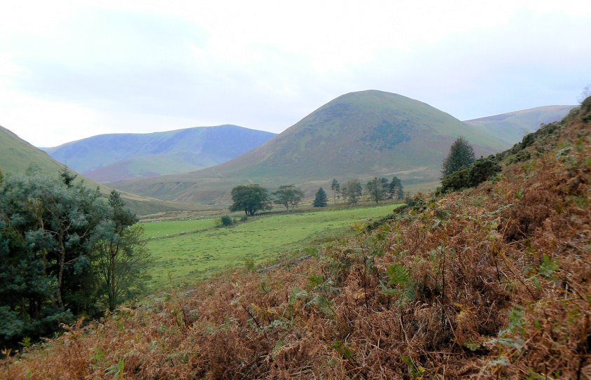
The Tongue as we start the ascent of Bowscale Fell.
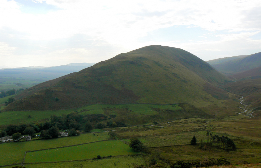
Souther Fell from higher up.
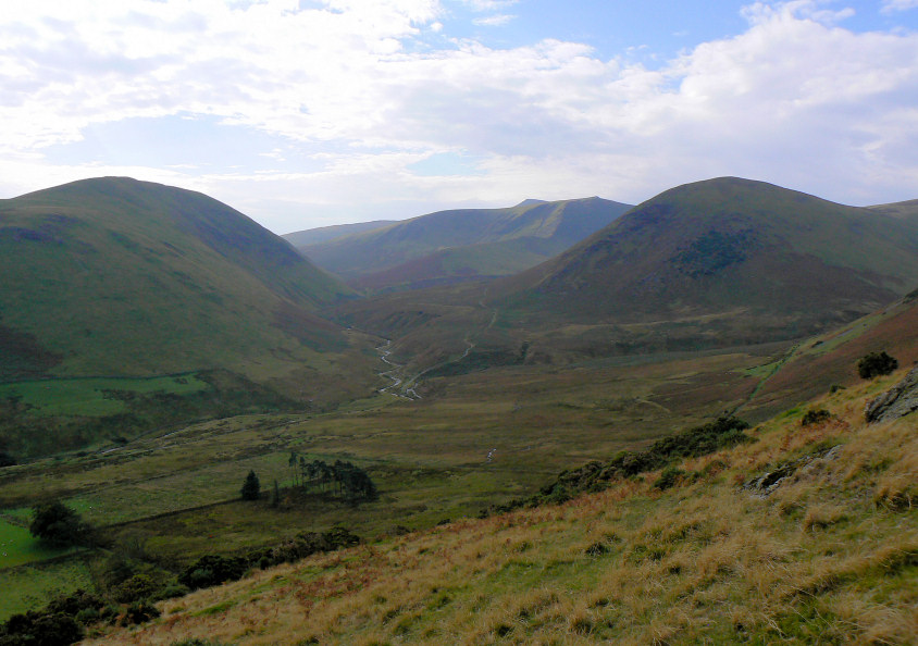
The Glendermackin Valley, which would be our return route.
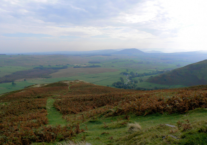
The steep part of the ascent over we look back towards Great Mell.
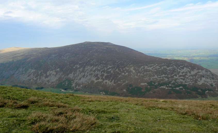
Our first view of Carrock Fell as we think we are nearing the summit. Not having planned on doing this walk we didn't release quite how long Bowscale Fell was or how far away the first summit was.
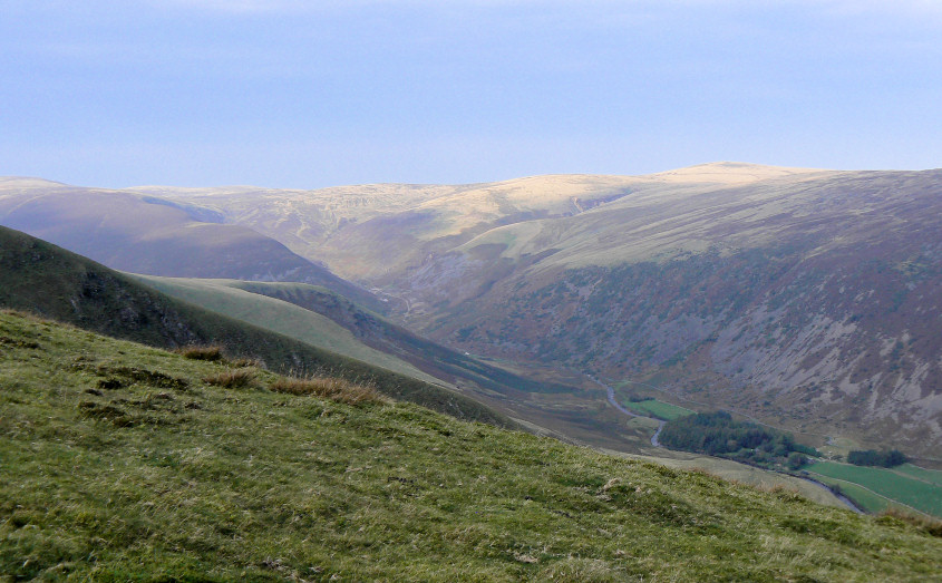
High Pike is illuminated by the sun.
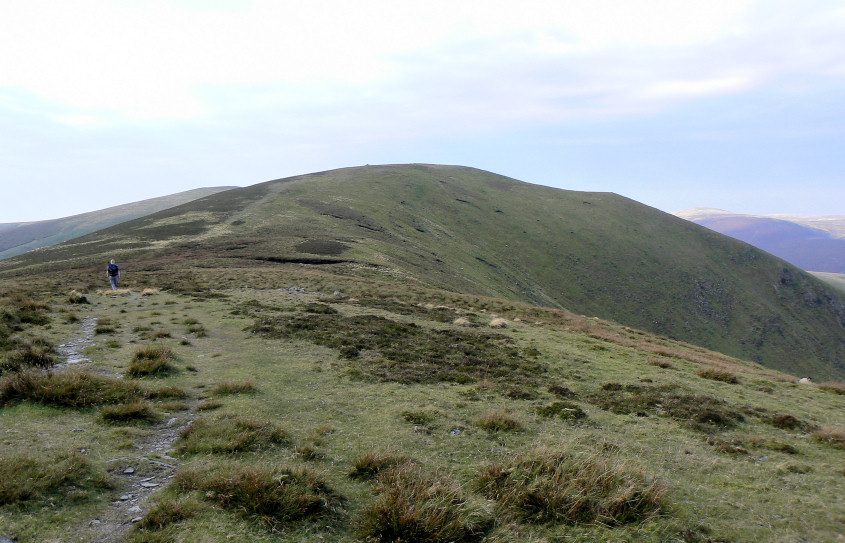
Heading along Bowscale Fell towards its east top and the first summit of the day.
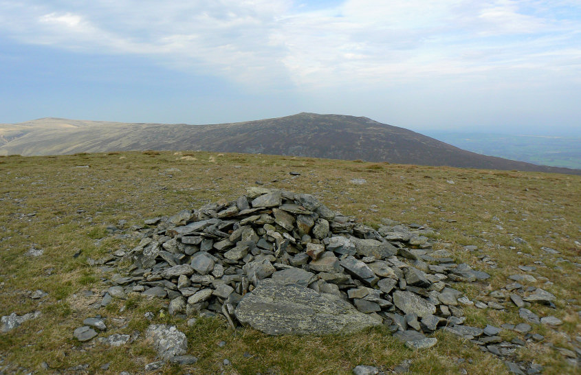
The cairn on what Birkett calls the East Top of Bowscale Fell.
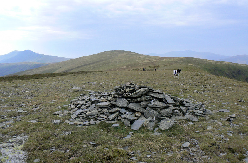
It still seems a long way to Bowscale Fell's summit.
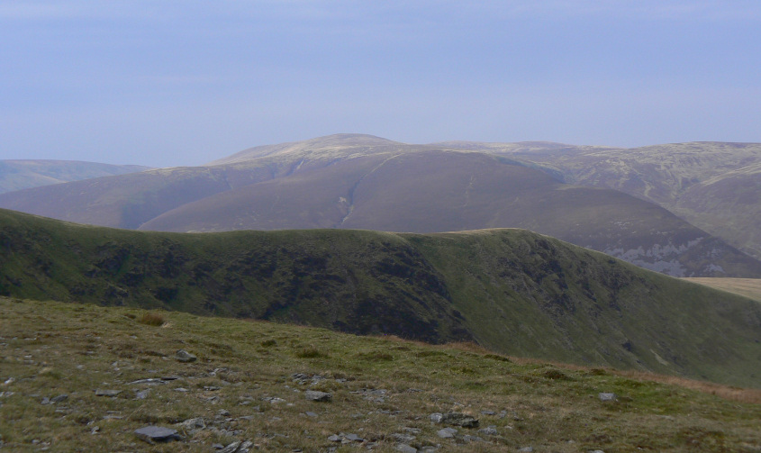
Looking across to the Knott. It was only a few weeks ago that I was sat there looking at Bannerdale Crags and I certainly didn't expect to be looking back at it so soon.
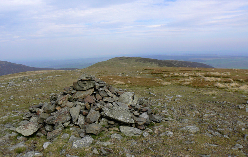
Bowscale Fell's summit cairn.
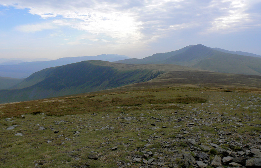
Decision time, are we just carrying on to Bannerdale Crags or going to the Tongue?
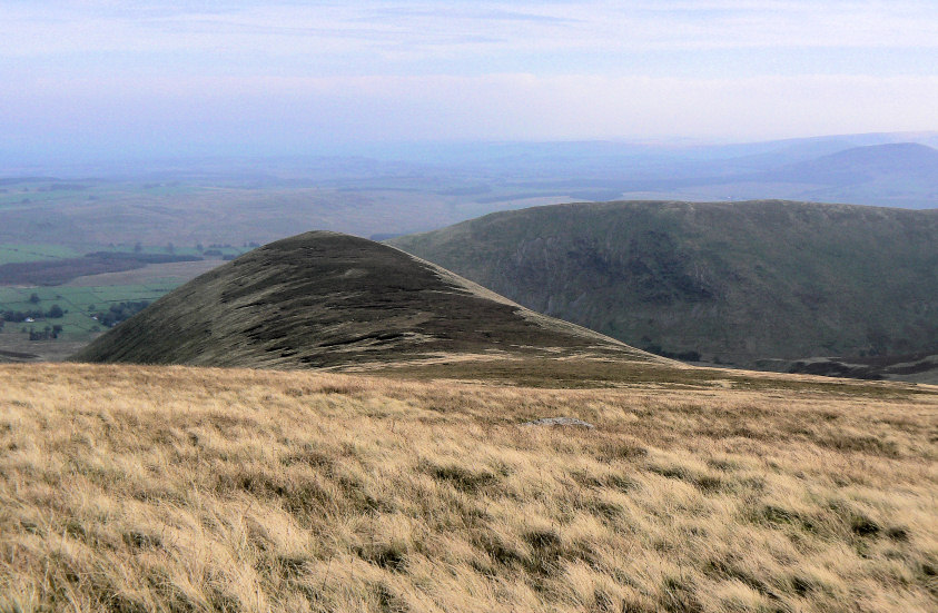
We opted for the out and back to the Tongue and if there was a path we only found it as we got near to the summit.
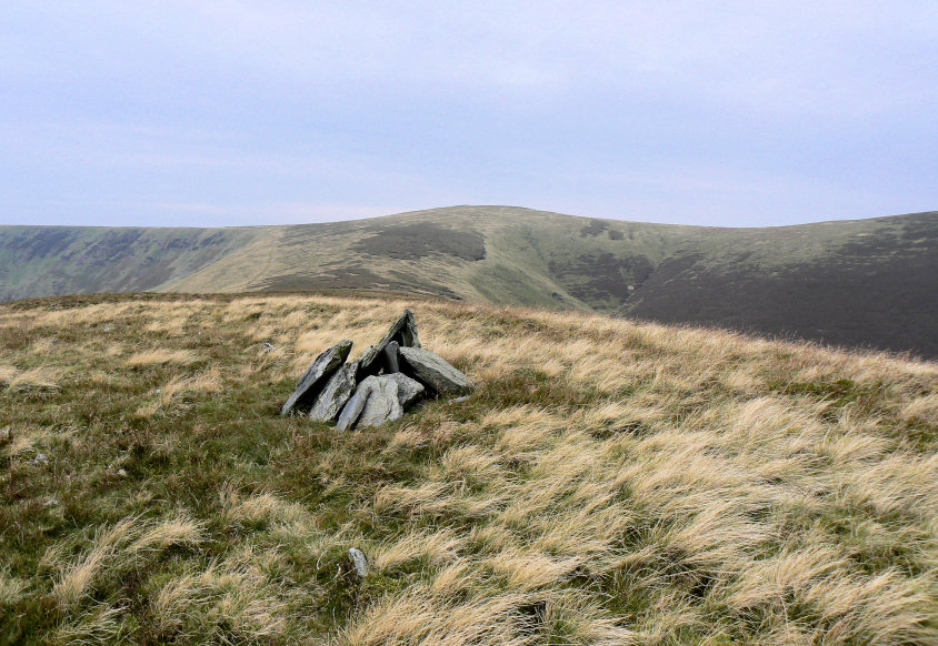
Looking back to Bowscale Fell from the Tongue's summit.
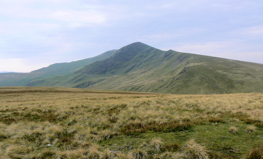
On route to Bannerdale Crags I make a slight diversion to get a shot of Sharp Edge.
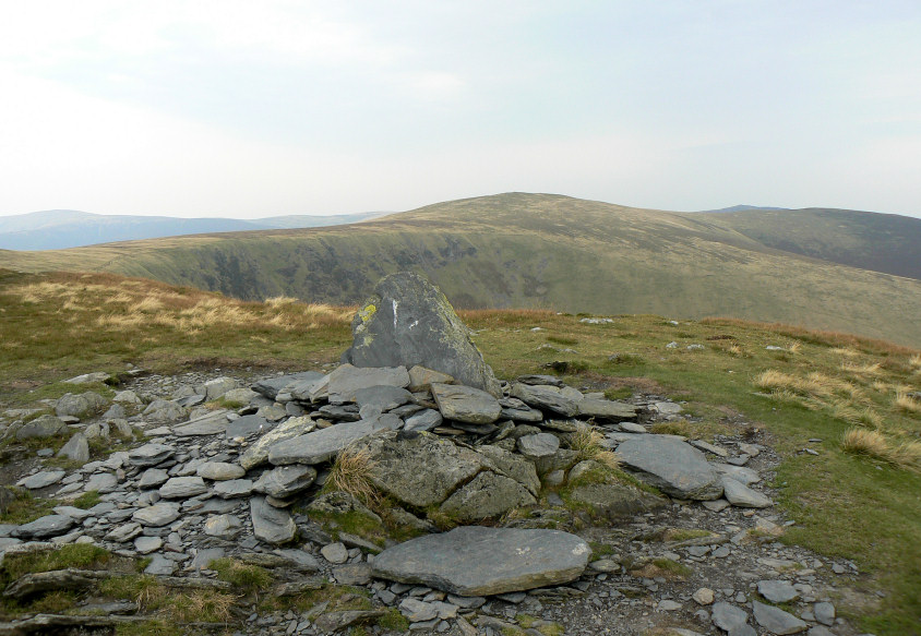
Bannerdale Crags' summit.
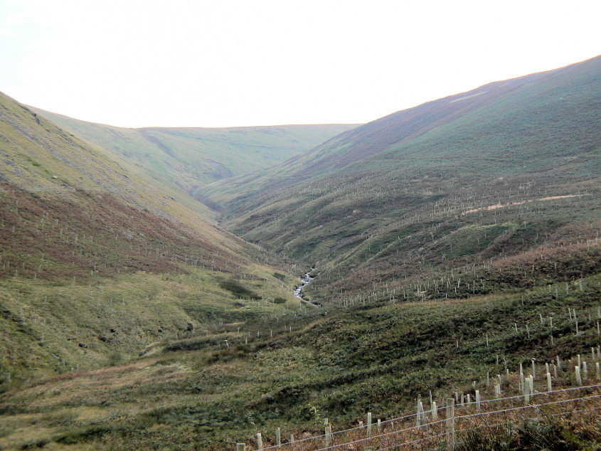
Walking back through the Glendermackin Valley I wonder what the view will be like the next time I'm here.
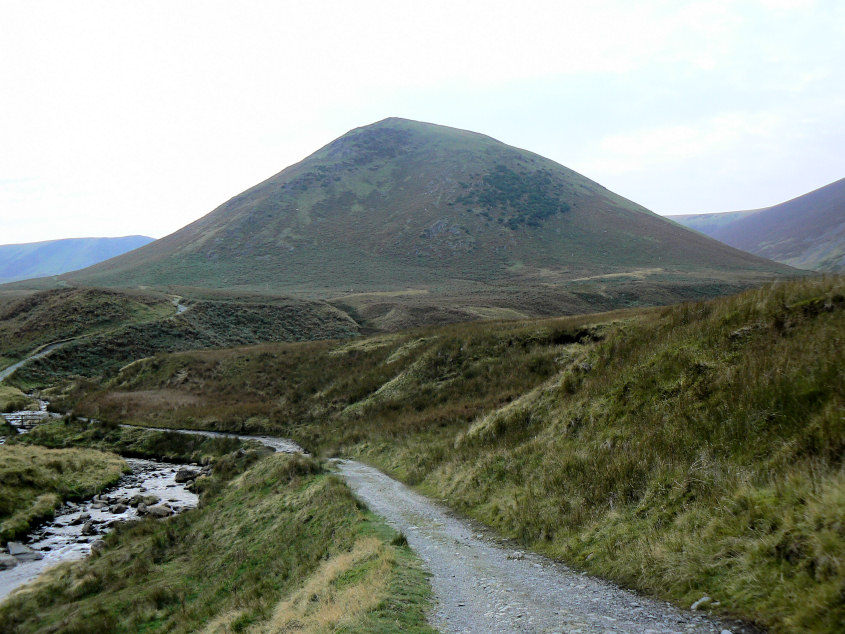
A final look at the Tongue before we head for the pub and a welcome pint.
All pictures copyright © Peak Walker 2006-2023